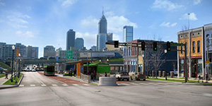
Discover how IndyGo’s new Purple Line BRT route impacts your daily commute! Whether you’re a motorist navigating the roads or a rider enjoying more efficient transit, we’ve got everything you need to know. Click below to explore tailored information for your journey—motorists can learn about road changes and safety tips, while riders can find essential tips, fare details and boarding instructions.
RidersMotorists

PURPLE LINE: IS LIVE!

The Purple Line Bus Rapid Transit (BRT) route brought crucial infrastructure improvements, economic growth and increased access to life’s essentials for Indianapolis residents BEFORE it even launched. Now that it’s in service, the line is introducing unparalleled connections between downtown Indy and the City of Lawrence. It’s also providing faster, more efficient and reliable transportation between neighborhoods, major employers, healthcare and educational facilities.

Read below to learn what to expect from the new system along the 38th Street and Post Road corridors.

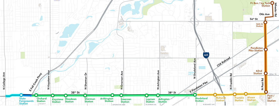
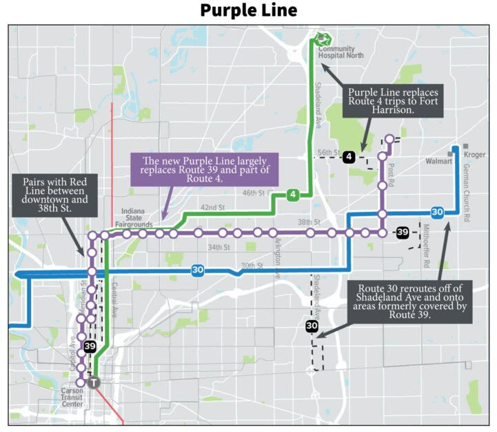
Purple Line Project Map

The Purple Line brings it all together, extending 15.2 miles between Indianapolis and the City of Lawrence. The Purple Line runs through several neighborhoods, past major employers, cultural institutions and healthcare and educational facilities with fast, frequent and reliable service.

Mon – Fri
5 a.m. – 1 a.m.

Sat
6 a.m. – 1 a.m.

Sun
7 a.m. – 10 p.m.
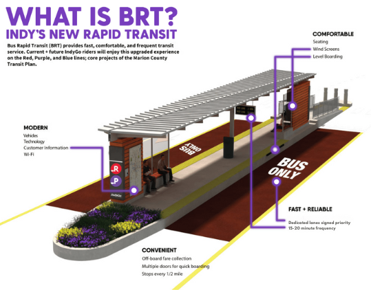
What is Bus Rapid Transit (BRT)?

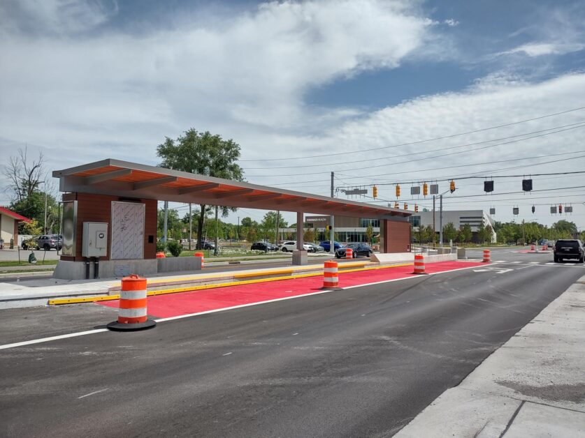
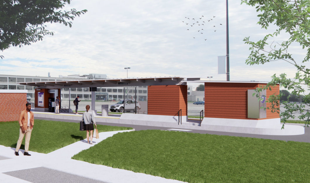
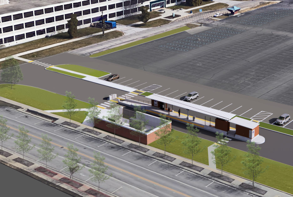
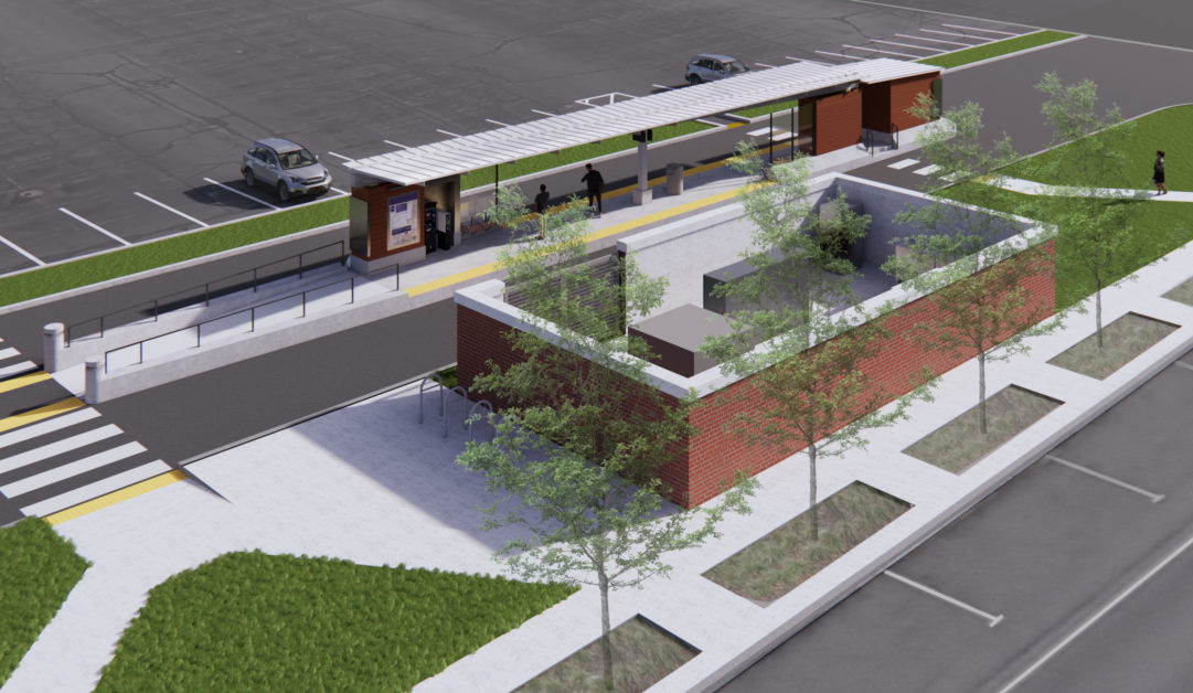
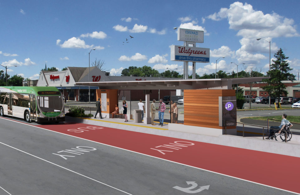
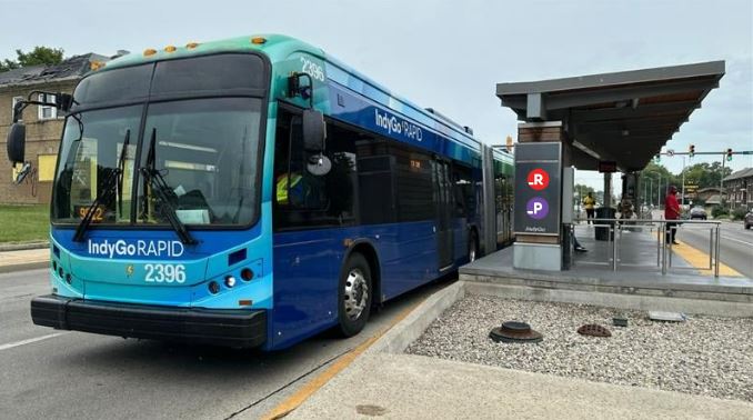
Although many local bus stops went away along the corridor with the recent route changes, they’ve been replaced by enhanced station platforms, which are built for convenient and efficient transit service.

These stations include features like:

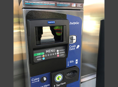
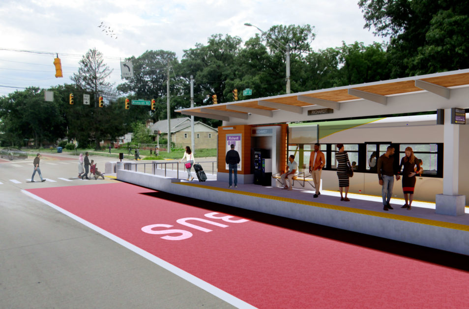
  • Ticket vending machines that accept cash and credit/debit card payments, speeding up the boarding process.
  • Digital screens, which display real-time arrival information for the next bus.
  • Level station access in accordance with the American Disabilities Act.
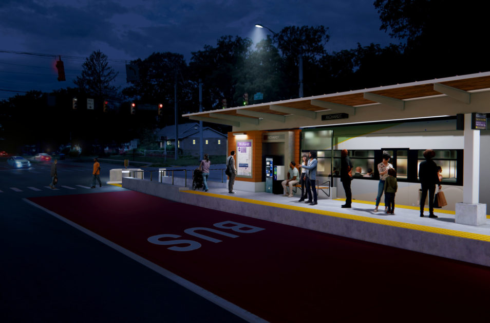
  • Well-lit boarding areas, security cameras and “blue-light” emergency phones.
  • Covered platforms, providing better weather protection.

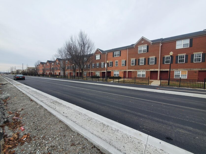
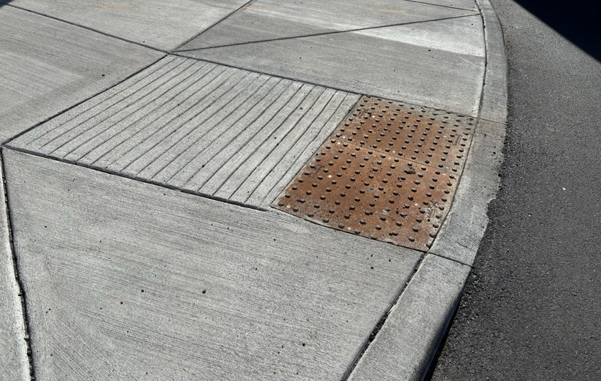
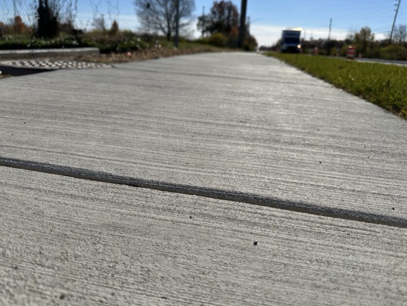
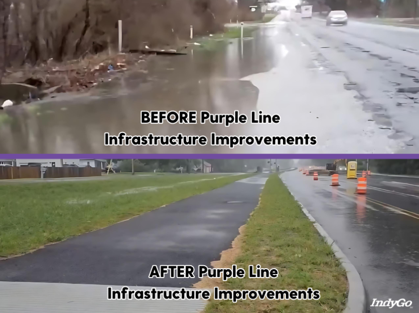
Additionally, with the introduction of the Purple Line, riders can walk along ADA–compliant sidewalks to reach their designated BRT station platform. Infrastructure improvements addressing the condition of the roadway, pedestrian facilities and drainage, along with new or upgraded traffic signals, also allow for safer travel when walking between destinations.

Watch a Recap of the Purple Line Launch Below

RIDERS

How to Ride the Purple Line

With the introduction of the Purple Line and bus rapid transit, many riders traveling on routes 39 and 4 are experiencing changes in how they use IndyGo’s service. To learn more about what routes recently changed surrounding the Purple Line, click here. Look at the map below to learn more about the service shifts that went into effect to serve the Purple Line.

Plan Your Trip

Riders can plan their trips ahead of time using Google Maps, the Transit app, the myStop Mobile app or by visiting indygo.net/plan-your-trip to ensure they know how their trip changed and which new BRT stations replaced current bus stops.

Pay Before You Ride

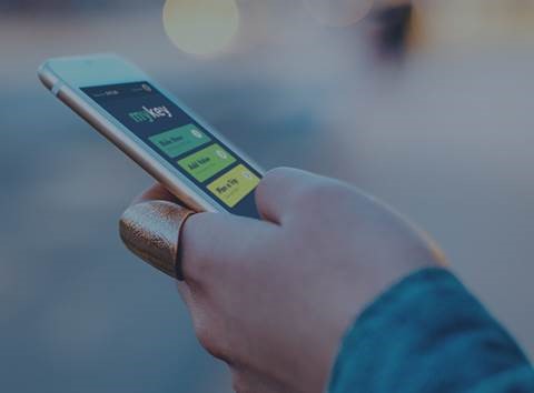
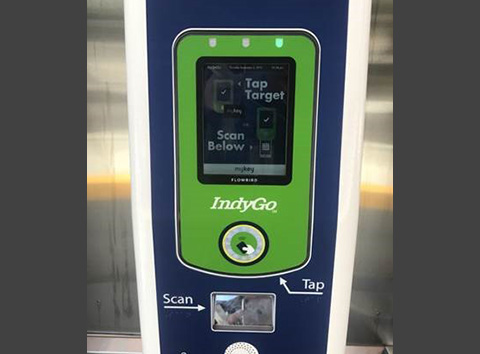
It’s important to pay your fare BEFORE boarding the bus to help keep it RAPID! The best way for riders to do this on BRT is to use IndyGo’s account-based fare system, MyKey. Through MyKey, you can validate your fare with the app on your smartphone or a reloadable tap card that’s available at BRT stations and the Carson Transit Center. Learn more about paying fare with MyKey at indygo.net/mykey/.

To complete this process, you can either:

1. Load your MyKey account by purchasing transit value through the MyKey mobile app OR

…At a ticket vending machine.

2. Tap your card or scan the QR code in your MyKey mobile app to validate your bus fare before the bus arrives.

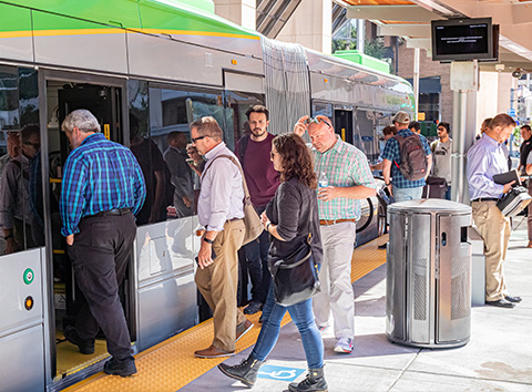
3. Board at either door when your bus arrives. Sit back and enjoy the ride.

Watch the Demonstration Video for Fare Purchase and Validation Below

Rider Experience Enhancements

New Multiuse Path

Upgraded ADA Curb Ramps

New Sidewalks

Upgraded Stormwater Drainage

New Station Platform at Arlington & 38th Street

MOTORISTS

How to Drive Along the Purple Line

The 38th Street and Post Road corridors have undergone a major transformation over the past year. In addition to training our professional bus operators on how to drive this new route, we’ve got some helpful guidance for motorists as well.

Dos and Don’ts

  • DO only turn left at designated signals 
  • DO avoid driving in the designated bus lane, unless you’re turning left at a designated signal 
  • DON’T drive in the designated bus lane, unless you’re crossing over to a designated left turn lane 
  • DON’T cross the center median 
  • DON’T park your vehicle in the dedicated bus lane 

Rules of the Road

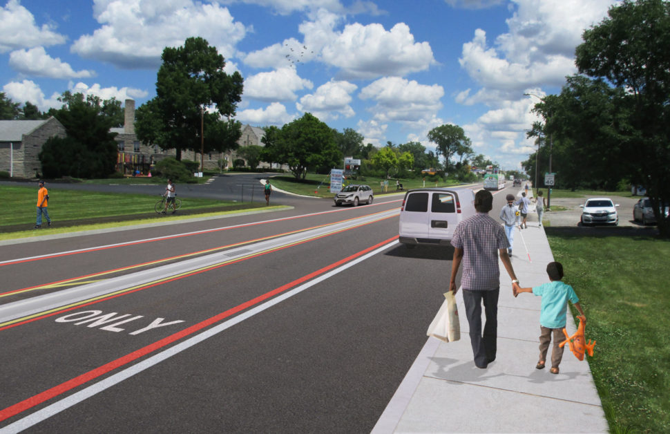
The Purple Line’s lane configurations along 38th Street and Post Road are separated into five segments as shown by the interactive map below. Click on each section and scroll down to the designate dropdown to watch a video explaining how 38th Street and Post Road, between College Avenue to the Ivy Tech Terminus, has been reconfigured to accommodate Purple Line transit vehicles. Examples of specific intersections are representative of similar intersections throughout the corridor.

Drivers of all vehicles should be aware that left turns along 38th Street, between Fall Creek Parkway and Shadeland Avenue, will only be permitted at signalized intersections.

1 2 3 4 5


Richardt Station Day Rendering


Richardt Station Night Rendering


Ivy Tech Station Renderings


Sherman Station Rendering


State Fairgrounds Station Day Rendering


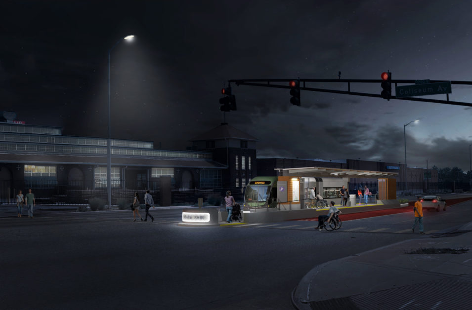
State Fairgrounds Station Night Rendering


Wallace Avenue Station Rendering

Our Current Projects